Planscape
A decision support tool for planning to maximize wildfire resilience and ecological benefits
Planscape Explore - available now
Planscape preview includes all data from the Regional Resource Kit layers for the Sierra Nevada, Southern California, and Central Coast regions.
What can I do with Planscape?
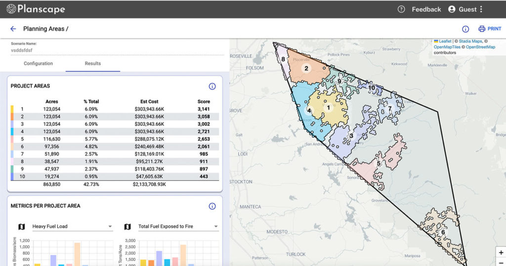
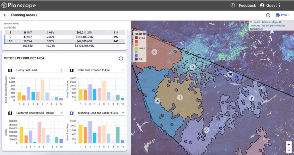
You can view and explore the landscape resilience planning data on a set of maps. You can also visualize this data for the three regions alongside other provided data sets such as county and watershed boundaries.
Future Planscape releases will give you the ability to create plans, to identify treatment areas from the plans, and to collaborate with other stakeholders.
Sign up to stay informed of new data, new regions and new functionality
Built on the best science and data
Planscape is a new wildfire resilience decision support tool designed to bring the best available state and federal data and science together in a user-friendly, accessible format to help with planning.
Planscape will help regional planners prioritize landscape treatments to mitigate fire risk, maximize ecological benefits and help California’s landscapes adapt to climate change.
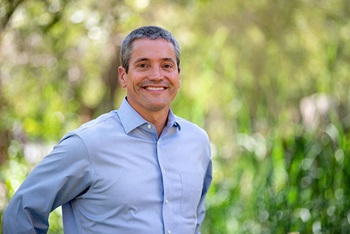
“Californians are threatened by worsening wildfires driven by an overheated, unstable climate. Planscape will leverage science and data to help deliver wildfire resilience projects that protect our communities and natural places.”
Wade Crowfoot. California Secretary for Natural Resources.
Overview and demo of Planscape from the 09/27/22 California Wildfire & Forest Resilience Taskforce meeting